An image essay of early European responses to the Wet City.
James Stirling’s Chart of 1827 foregrounded the
presence of fresh springs and an abundance of fresh water across the Swan Coastal Plain.
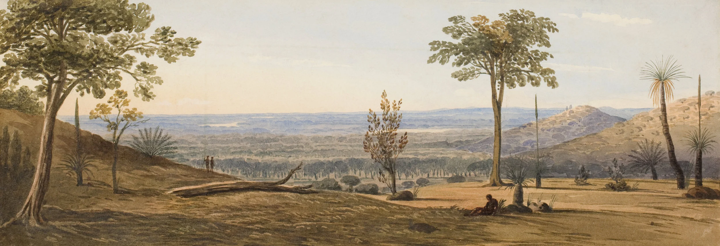
Frederick Garling’s View across the coastal plain
drawn in 1827 is projective of a land ideal for settlement.
Early European settlers row along the banks of the Swan River with rushes towering over them.
Early sectional surveys show an emerging awareness of the extents of groundwater beneath Perth. This mapping of groundwater depth and volume was produced by government geologist A. Gibb Maitland in 1912.
An 1864 photograph of Boorjoormelup or Lake Henderson by Alfred Stone Hawes, now Robertson Park in Northbridge.
Water flows from an artesian bore on Loftus Street in West Perth, unknown photographer, 1890s.
The Dalkieth Hot Pool on the Swan River foreshore emerged when a bore sunk for water supply breached a deeper, hot aquifer. It was sealed over in the 1930s after repeated cases of nude bathing.
Snippets from front pages of The West Australian from the early 1950s, a time of frequent water restrictions amid a developing culture of prolifigate suburban water use.